
3D Contour Model Contour Lines on a Topographic Map Model Geographical Instrument Geography Equipment Teaching Home Office
3D Contour Model Contour Lines on a Topographic Map Model Geographical Instrument Geography Equipment Teaching Home Office
3D Contour Model Contour Lines on a Topographic Map Model Geographical Instrument Geography Equipment Teaching Home Office

|
product name
|
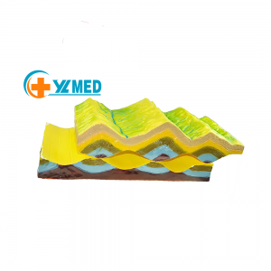
Contour Lines on a topographic map model
|
|
material
|
plastic
|
|
moq
|
2pcs
|
|
Product size:
|
45.5*58.5*18cm
|
Production technology
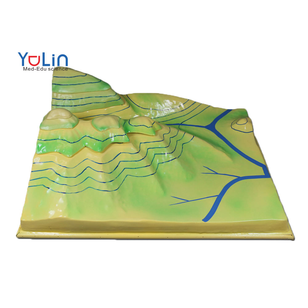
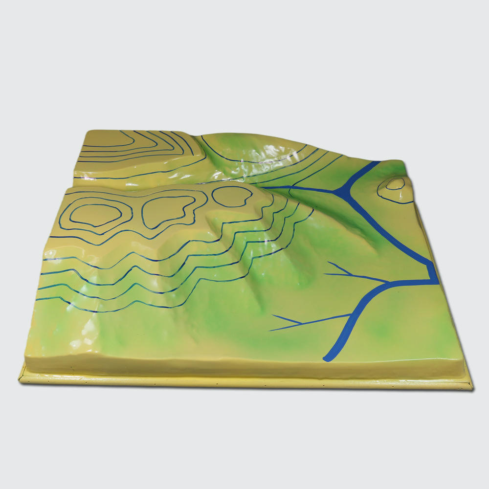
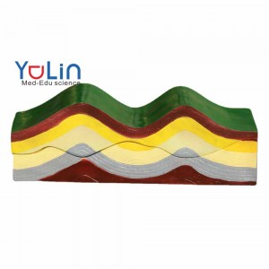
Contour Lines on a topographic map model
we have our own R&D department, Just feel free to send us, your picture or original sample we will offer you the vivid plush toy
we have our own R&D department, Just feel free to send us, your picture or original sample we will offer you the vivid plush toy
24 hours online, answer all your questions attentively, pursue the concept of customer first and long-term cooperation


1,This product uses a three-dimensional layered and vertical method to express various terrains according to the contour terrain call.
2,Select the original content: mountain tops, ridges, valleys, saddles, steep cliffs, rivers, alluvial fans, gentle slopes, and steep slopes.
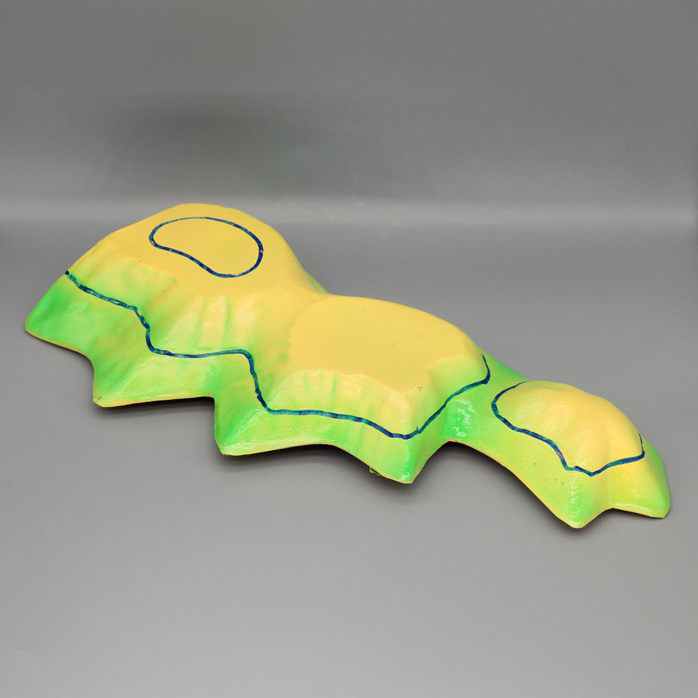
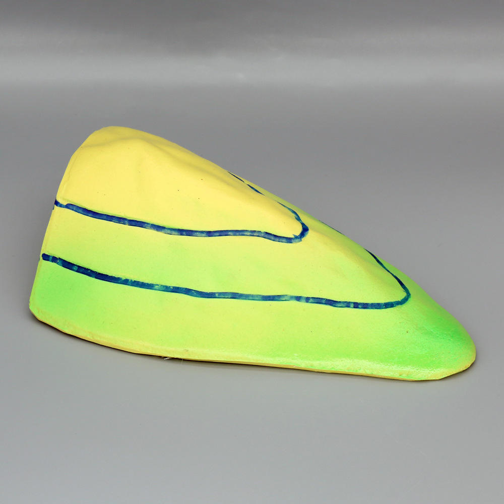
3,The main part of the model can be disassembled in layers along the contour line, and the surface and the layered section are drawn with corresponding isotropic lines.
4,Wildely used in for crustal geography geology education or landform, Can help you to learn accurately and effectively, tobetter understand and master.save learning time and improve learning efficiency.
5,Made from premium PVC material, this model is lightweight, anti-corrosion and durable.

Products categories
-
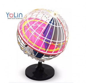
Geography Teaching Aids Rotating 360 Globe Educ...
-

Geography Discipline Teaching Instruments and A...
-
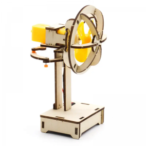
oscillating fan small experiment 4-7years old s...
-
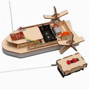
Self-made electric remote control buoyancy boat...
-
Educational Equipment Model of Changes in the E...
-
Teaching Resource School Geology Wooden Molecul...